Google is getting in on mapping methane via satellite
The tech giant is partnering with the Environmental Defense Fund on MethaneSAT — and the satellite’s long-awaited launch is imminent.


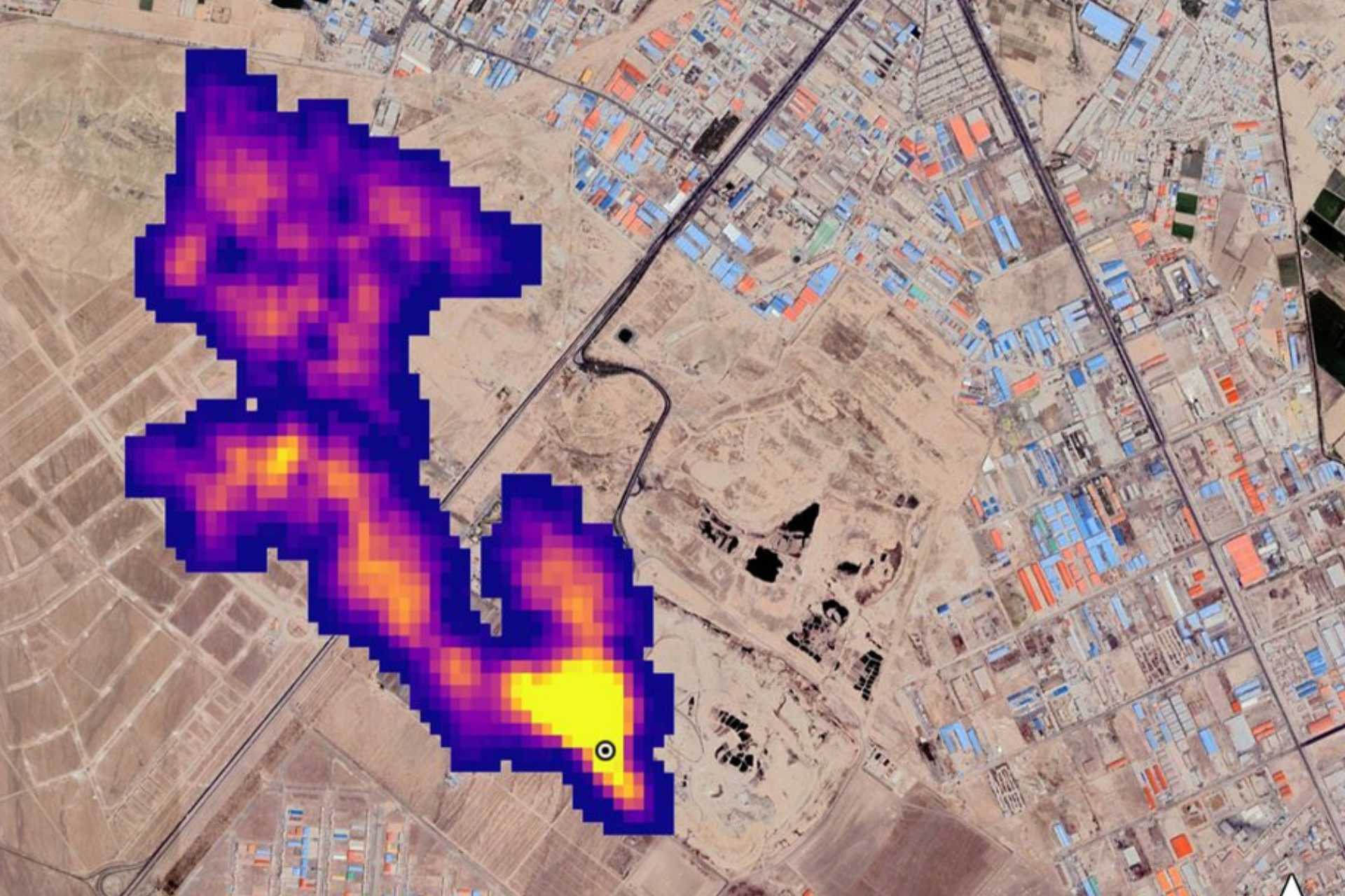
A methane plume detected in New Mexico. Image credit: NASA / JPL-Caltech
A methane plume detected in New Mexico. Image credit: NASA / JPL-Caltech
Google is providing cloud and mapping services to a project that will use satellite imagery to quantify and trace methane emission sources around the world, the company announced today.
When the Environmental Defense Fund’s much-anticipated satellite, MethaneSAT, launches next month, Google Cloud will provide the computing power to process, analyze, and visualize the new data stream.
- The top line: The partnership will measure methane levels in the world’s top oil and gas producing regions, and provide specific data on which components of fossil fuel infrastructure are the biggest methane emitters. That data will be made available to energy companies, researchers, and the public sector via the Google Earth Engine platform later this year.
- The market grounding: Last year’s COP28 climate talks saw the creation of a handful of methane reduction initiatives, giving a potential boost to the nascent methane detection sector, which is increasingly relying on artificial intelligence for monitoring and risk assessment.
The non-profit EDF has spent nearly six years developing MethaneSAT to monitor both high-emitting sources and small, more dispersed ones. The satellite was assembled earlier this month and will launch in early March from Vandenberg Space Force Base in California on a SpaceX rocket. It will orbit the Earth 15 times each day, sending back real-time emissions data.
The algorithms that will ultimately calculate how much methane is emitted in certain locations, as well as tracking those emissions over time, will be powered by Google Cloud. Using images from MethaneSAT, Google and EDF will also apply AI to identify individual components of oil and gas infrastructure, like oil storage containers, well pads, and oil pump jacks.
With a map of fossil fuel infrastructure in hand, the pair will overlay emissions data, resulting in information about where to anticipate and mitigate emissions.
The insights will be available later this year on MethaneSAT’s website, and on Google Earth Engine, where users will be able to combine methane data with other datasets such as land cover and regional borders.


